
Venkatapuram topographic map
Interactive map
Click on the map to display elevation.
About this map
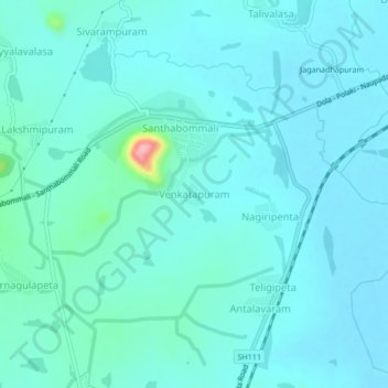
Name: Venkatapuram topographic map, elevation, terrain.
Location: Venkatapuram, Santhabommali, Srikakulam, Andhra Pradesh, India (18.50903 84.18877 18.54903 84.22877)
Average elevation: 62 ft
Minimum elevation: 7 ft
Maximum elevation: 469 ft