
Elbert topographic map
Interactive map
Click on the map to display elevation.
About this map
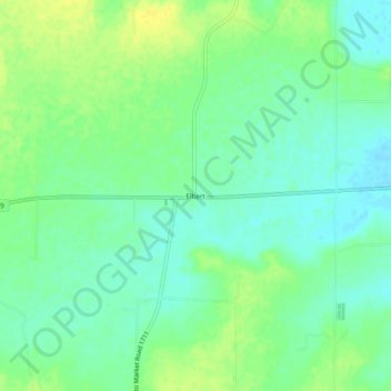
Name: Elbert topographic map, elevation, terrain.
Location: Elbert, Throckmorton County, Texas, United States (33.24622 -99.01396 33.28622 -98.97396)
Average elevation: 1,168 ft
Minimum elevation: 1,138 ft
Maximum elevation: 1,204 ft
Other topographic maps
Click on a map to view its topography, its elevation and its terrain.
Throckmorton
United States > Texas > Throckmorton County
Throckmorton, Throckmorton County, Texas, 76483, United States
Average elevation: 1,339 ft