日宗 topographic map
Interactive map
Click on the map to display elevation.
About this map
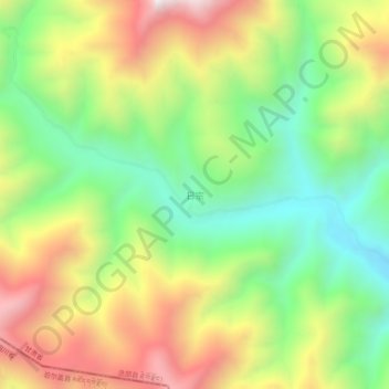
Name: 日宗 topographic map, elevation, terrain.
Average elevation: 10,669 ft
Minimum elevation: 9,216 ft
Maximum elevation: 12,569 ft

Click on the map to display elevation.
Name: 日宗 topographic map, elevation, terrain.
Average elevation: 10,669 ft
Minimum elevation: 9,216 ft
Maximum elevation: 12,569 ft