Polokwane Ward 22 topographic map
Interactive map
Click on the map to display elevation.
About this map
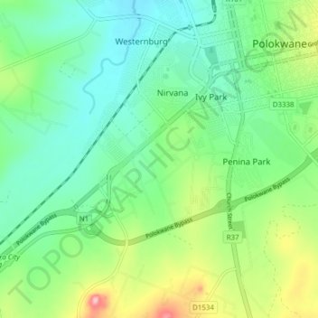
Name: Polokwane Ward 22 topographic map, elevation, terrain.
Average elevation: 4,196 ft
Minimum elevation: 4,029 ft
Maximum elevation: 4,596 ft

Click on the map to display elevation.
Name: Polokwane Ward 22 topographic map, elevation, terrain.
Average elevation: 4,196 ft
Minimum elevation: 4,029 ft
Maximum elevation: 4,596 ft