
Funa II topographic map
Interactive map
Click on the map to display elevation.
About this map
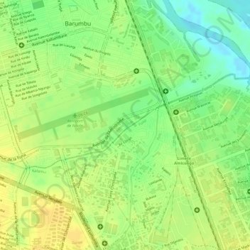
Name: Funa II topographic map, elevation, terrain.
Location: Funa II, Barumbu, Lukunga, Kinshasa, RD Congo (-4.33243 15.32092 -4.32323 15.33657)
Average elevation: 919 ft
Minimum elevation: 860 ft
Maximum elevation: 951 ft