
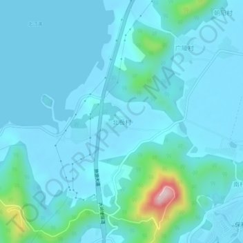
北极村 topographic map
Interactive map
Click on the map to display elevation.
About this map
Name: 北极村 topographic map, elevation, terrain.
Location: 北极村, 海陵镇, 江城区, 阳江市, 广东省, 中国 (21.58268 111.83657 21.62268 111.87657)
Average elevation: 125 ft
Minimum elevation: -10 ft
Maximum elevation: 1,198 ft
Other topographic maps
Click on a map to view its topography, its elevation and its terrain.