
Dolok Simanukmanuk topographic map
Interactive map
Click on the map to display elevation.
About this map
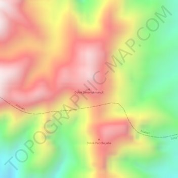
Name: Dolok Simanukmanuk topographic map, elevation, terrain.
Location: Dolok Simanukmanuk, Pematang Siantar, North Sumatra, Indonesia (2.57565 99.10925 2.57575 99.10935)
Average elevation: 5,856 ft
Minimum elevation: 4,495 ft
Maximum elevation: 6,903 ft