
Saint Amant topographic map
Interactive map
Click on the map to display elevation.
About this map
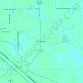
Name: Saint Amant topographic map, elevation, terrain.
Location: Saint Amant, Ascension Parish, Louisiana, 70774, USA (30.20464 -90.88899 30.24464 -90.84899)
Average elevation: 10 ft
Minimum elevation: -3 ft
Maximum elevation: 16 ft