
Phelps topographic map
Interactive map
Click on the map to display elevation.
About this map
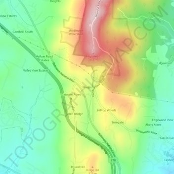
Name: Phelps topographic map, elevation, terrain.
Location: Phelps, Frederick County, Maryland, 21714, USA (39.43399 -77.51721 39.47399 -77.47721)
Average elevation: 915 ft
Minimum elevation: 479 ft
Maximum elevation: 1,604 ft