
East Taunton topographic map
Interactive map
Click on the map to display elevation.
About this map
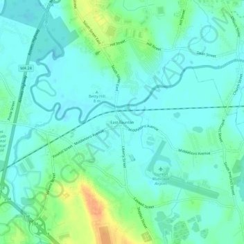
Name: East Taunton topographic map, elevation, terrain.
Location: East Taunton, Bristol County, Massachusetts, 02718, USA (41.86343 -71.04865 41.90343 -71.00865)
Average elevation: 36 ft
Minimum elevation: 3 ft
Maximum elevation: 131 ft