
Otford topographic map
Interactive map
Click on the map to display elevation.
About this map
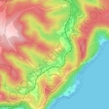
Name: Otford topographic map, elevation, terrain.
Average elevation: 469 ft
Minimum elevation: -3 ft
Maximum elevation: 938 ft
Other topographic maps
Click on a map to view its topography, its elevation and its terrain.
Stanwell Park
Australia > New South Wales > Wollongong City Council > Bulgo
Stanwell Park, Wollongong City Council, New South Wales, 2508, Australia
Average elevation: 315 ft