
Chegeni topographic map
Interactive map
Click on the map to display elevation.
About this map
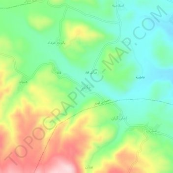
Name: Chegeni topographic map, elevation, terrain.
Location: Chegeni, بخش مرکزی سیروان, Sirvan County, Ilam Province, Iran (33.53590 46.75676 33.57590 46.79676)
Average elevation: 2,995 ft
Minimum elevation: 2,628 ft
Maximum elevation: 3,599 ft