
Kampung Dalam topographic map
Interactive map
Click on the map to display elevation.
About this map
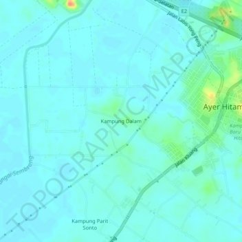
Name: Kampung Dalam topographic map, elevation, terrain.
Location: Kampung Dalam, Ayer Hitam, Batu Pahat, Johor, Malaysia (1.89577 103.14254 1.93577 103.18254)
Average elevation: 23 ft
Minimum elevation: 0 ft
Maximum elevation: 151 ft
Other topographic maps
Click on a map to view its topography, its elevation and its terrain.
Kampung Parit Sonto
Malaysia > Johor > Ayer Hitam
Kampung Parit Sonto, Ayer Hitam, Batu Pahat, Johor, Malaysia
Average elevation: 20 ft