唐龙公园(在建) topographic map
Interactive map
Click on the map to display elevation.
About this map
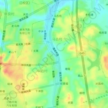
Name: 唐龙公园(在建) topographic map, elevation, terrain.
Average elevation: 443 ft
Minimum elevation: 371 ft
Maximum elevation: 528 ft

Click on the map to display elevation.
Name: 唐龙公园(在建) topographic map, elevation, terrain.
Average elevation: 443 ft
Minimum elevation: 371 ft
Maximum elevation: 528 ft