
下村 topographic map
Interactive map
Click on the map to display elevation.
About this map
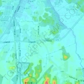
Name: 下村 topographic map, elevation, terrain.
Location: 下村, 太平镇, 新兴县, 云浮市, 广东省, 527400, 中国 (22.64136 112.21435 22.68136 112.25435)
Average elevation: 121 ft
Minimum elevation: 82 ft
Maximum elevation: 361 ft
Other topographic maps
Click on a map to view its topography, its elevation and its terrain.