
Tierradentro topographic map
Interactive map
Click on the map to display elevation.
About this map
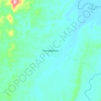
Name: Tierradentro topographic map, elevation, terrain.
Location: Tierradentro, San Jorge, Córdoba, Colombia (7.79633 -75.88824 7.83633 -75.84824)
Average elevation: 371 ft
Minimum elevation: 282 ft
Maximum elevation: 541 ft