
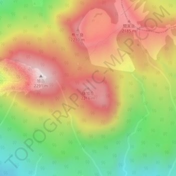
Mount Ushiro-Asahidake topographic map
Interactive map
Click on the map to display elevation.
About this map
Name: Mount Ushiro-Asahidake topographic map, elevation, terrain.
Average elevation: 6,411 ft
Minimum elevation: 5,210 ft
Maximum elevation: 7,497 ft