
Rach Gia City topographic map
Interactive map
Click on the map to display elevation.
About this map
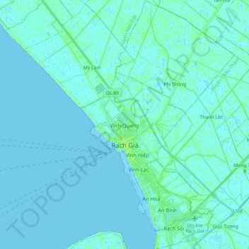
Name: Rach Gia City topographic map, elevation, terrain.
Location: Rach Gia City, Kien Giang Province, Vietnam (9.93627 105.05169 10.11433 105.16287)
Average elevation: 7 ft
Minimum elevation: -10 ft
Maximum elevation: 39 ft
Other topographic maps
Click on a map to view its topography, its elevation and its terrain.