
Muge topographic map
Interactive map
Click on the map to display elevation.
About this map
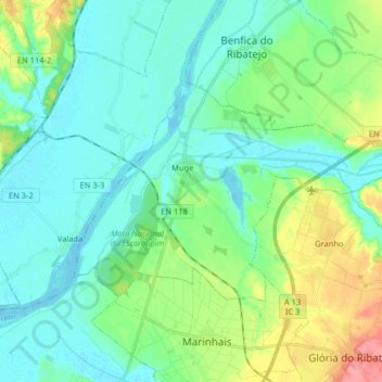
Name: Muge topographic map, elevation, terrain.
Location: Muge, Salvaterra de Magos, Santarém, Portugal (39.06069 -8.75917 39.13263 -8.59787)
Average elevation: 66 ft
Minimum elevation: -3 ft
Maximum elevation: 266 ft