
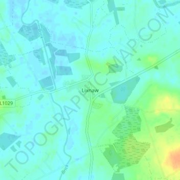
Lixnaw topographic map
Interactive map
Click on the map to display elevation.
About this map
Name: Lixnaw topographic map, elevation, terrain.
Location: Lixnaw, County Kerry, Munster, Ireland (52.38402 -9.63728 52.42402 -9.59728)
Average elevation: 20 ft
Minimum elevation: -7 ft
Maximum elevation: 95 ft