
Aalter topographic map
Interactive map
Click on the map to display elevation.
About this map
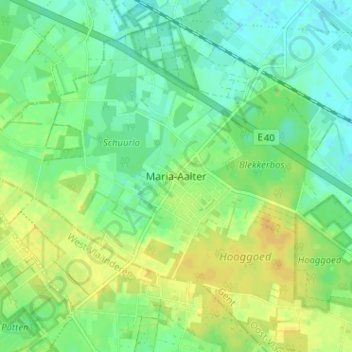
Name: Aalter topographic map, elevation, terrain.
Location: Aalter, Maria-Aalter, Gent, East Flanders, Flanders, Belgium (51.07679 3.34802 51.11679 3.38802)
Average elevation: 59 ft
Minimum elevation: 23 ft
Maximum elevation: 98 ft