
Rockview topographic map
Interactive map
Click on the map to display elevation.
About this map
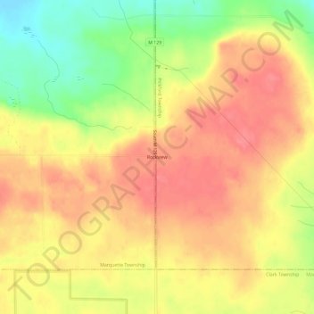
Name: Rockview topographic map, elevation, terrain.
Location: Rockview, Mackinac County, Michigan, 49785, USA (46.06585 -84.38281 46.10585 -84.34281)
Average elevation: 791 ft
Minimum elevation: 640 ft
Maximum elevation: 879 ft