
Rockdale topographic map
Interactive map
Click on the map to display elevation.
About this map
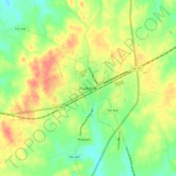
Name: Rockdale topographic map, elevation, terrain.
Location: Rockdale, Milam County, Texas, 76567, USA (30.61494 -97.04582 30.69494 -96.96582)
Average elevation: 479 ft
Minimum elevation: 390 ft
Maximum elevation: 574 ft