
General Paulino Santos topographic map
Interactive map
Click on the map to display elevation.
About this map
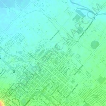
Name: General Paulino Santos topographic map, elevation, terrain.
Average elevation: 164 ft
Minimum elevation: 125 ft
Maximum elevation: 259 ft
Other topographic maps
Click on a map to view its topography, its elevation and its terrain.
Santo Niño
Philippines > South Cotabato > Koronadal
Santo Niño, Koronadal, South Cotabato, Soccsksargen, Philippines
Average elevation: 200 ft