
Bledeln topographic map
Interactive map
Click on the map to display elevation.
About this map
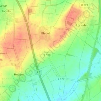
Name: Bledeln topographic map, elevation, terrain.
Average elevation: 282 ft
Minimum elevation: 213 ft
Maximum elevation: 361 ft
Other topographic maps
Click on a map to view its topography, its elevation and its terrain.
Lühnde
Deutschland > Niedersachsen > Landkreis Hildesheim > Algermissen
Lühnde, Algermissen, Landkreis Hildesheim, Niedersachsen, Deutschland
Average elevation: 272 ft