
Rumipamba topographic map
Interactive map
Click on the map to display elevation.
About this map
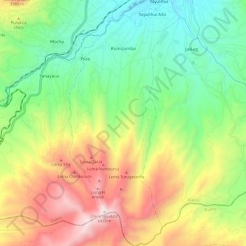
Name: Rumipamba topographic map, elevation, terrain.
Location: Rumipamba, Quero, Tungurahua, Ecuador (-1.50838 -78.65651 -1.40113 -78.60765)
Average elevation: 11,663 ft
Minimum elevation: 9,859 ft
Maximum elevation: 14,462 ft