
Parque Salazar topographic map
Interactive map
Click on the map to display elevation.
About this map
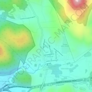
Name: Parque Salazar topographic map, elevation, terrain.
Location: Parque Salazar, Salazar, Lerma, México (19.31011 -99.39164 19.31104 -99.38986)
Average elevation: 10,007 ft
Minimum elevation: 9,629 ft
Maximum elevation: 10,896 ft