
Bragg Creek topographic map
Interactive map
Click on the map to display elevation.
About this map
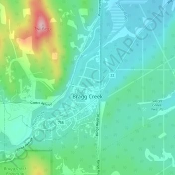
Name: Bragg Creek topographic map, elevation, terrain.
Location: Bragg Creek, Rocky View County, Alberta, Canada (50.94132 -114.58357 50.96424 -114.55960)
Average elevation: 4,350 ft
Minimum elevation: 4,196 ft
Maximum elevation: 4,846 ft