
Cathcart topographic map
Interactive map
Click on the map to display elevation.
About this map
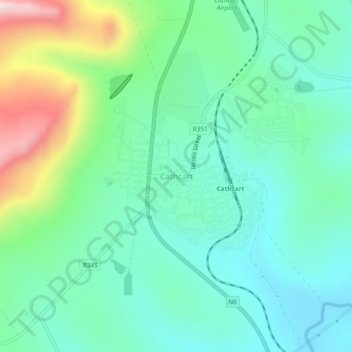
Name: Cathcart topographic map, elevation, terrain.
Location: Cathcart, Amathole District Municipality, Eastern Cape, RSA (-32.31787 27.12521 -32.27787 27.16521)
Average elevation: 3,924 ft
Minimum elevation: 3,497 ft
Maximum elevation: 5,118 ft