
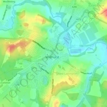
Midhurst topographic map
Interactive map
Click on the map to display elevation.
About this map
Name: Midhurst topographic map, elevation, terrain.
Location: Midhurst, Chichester, West Sussex, England, United Kingdom (50.97177 -0.76262 50.99838 -0.73289)
Average elevation: 125 ft
Minimum elevation: 49 ft
Maximum elevation: 262 ft