
Vargos topographic map
Interactive map
Click on the map to display elevation.
About this map
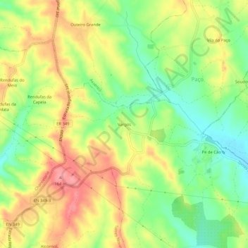
Name: Vargos topographic map, elevation, terrain.
Average elevation: 377 ft
Minimum elevation: 226 ft
Maximum elevation: 531 ft
Other topographic maps
Click on a map to view its topography, its elevation and its terrain.
Zibreira
Portugal > Santarém > Torres Novas
Zibreira, Torres Novas, Santarém, Portugal
Average elevation: 354 ft
Aire
Portugal > Santarém > Torres Novas
Aire, Torres Novas, Santarém, 2495-079, Portugal
Average elevation: 1,814 ft
Rendufas da Mata
Portugal > Santarém > Torres Novas
Rendufas da Mata, Chancelaria, Torres Novas, Santarém, 2350-077, Portugal
Average elevation: 348 ft
Casais Martanes
Portugal > Santarém > Torres Novas
Casais Martanes, Pedrógão, Torres Novas, Santarém, 2350-852, Portugal
Average elevation: 430 ft