
Ungerdorf topographic map
Interactive map
Click on the map to display elevation.
About this map
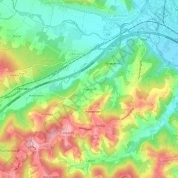
Name: Ungerdorf topographic map, elevation, terrain.
Average elevation: 1,329 ft
Minimum elevation: 1,125 ft
Maximum elevation: 1,617 ft
Other topographic maps
Click on a map to view its topography, its elevation and its terrain.
Gleisdorf
Österreich > Steiermark > Bezirk Weiz > Gleisdorf
Gleisdorf, Bezirk Weiz, Steiermark, 8200, Österreich
Average elevation: 1,217 ft