Geolocate

Bakerville topographic map

Click on the map to display elevation.

Bakerville

Bakerville is a populated place situated within the city of Bisbee in Cochise County, Arizona, United States. It has an estimated elevation of 5,039 feet (1,536 m) above sea level.

Wikipedia (CC-BY-SA 3.0)

About this map

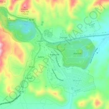
Name: Bakerville topographic map, elevation, terrain.

Location: Bakerville, Warren, Bisbee, Cochise County, Arizona, 85603, United States (31.40288 -109.90730 31.44288 -109.86730)

Average elevation: 5,180 ft

Minimum elevation: 4,820 ft

Maximum elevation: 5,873 ft

Cochise County trails, hiking, mountain biking, running and outdoor activities

Gear up for your next adventure:

🌧️Backpack Rain Cover - Keep gear dry in wet weather
📦Gear Storage Bags - Organize and protect outdoor equipment
🪶Trail Camera - Capture wildlife on your hikes
🚑Emergency Bivvies - Heat-reflective sleeping bags for survival situations
🧣Hiking Neck Gaiter - Multi‑use neck protection for outdoor weather

As an Amazon Associate, this site earns from qualifying purchases at no extra cost to you.