
Carson-Iceberg Wilderness topographic map
Interactive map
Click on the map to display elevation.
About this map
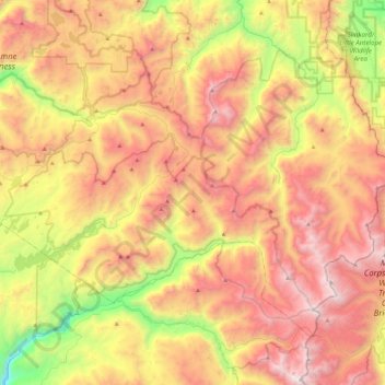
Name: Carson-Iceberg Wilderness topographic map, elevation, terrain.
Average elevation: 7,982 ft
Minimum elevation: 4,222 ft
Maximum elevation: 11,565 ft