
Bonnet Plume River topographic map
Interactive map
Click on the map to display elevation.
About this map
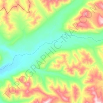
Name: Bonnet Plume River topographic map, elevation, terrain.
Location: Bonnet Plume River, Yukon, Canada (64.31468 -131.60857 64.35615 -131.32916)
Average elevation: 5,016 ft
Minimum elevation: 3,875 ft
Maximum elevation: 7,313 ft
Other topographic maps
Click on a map to view its topography, its elevation and its terrain.