
الزهراء topographic map
Interactive map
Click on the map to display elevation.
About this map
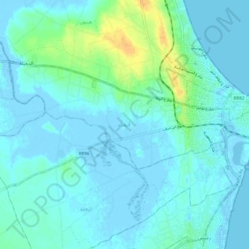
Name: الزهراء topographic map, elevation, terrain.
Location: الزهراء, معتمدية المهدية, Mahdia, Tunisia (35.48065 10.95734 35.51946 11.05127)
Average elevation: 16 ft
Minimum elevation: -30 ft
Maximum elevation: 92 ft
Other topographic maps
Click on a map to view its topography, its elevation and its terrain.