
Chicalá topographic map
Interactive map
Click on the map to display elevation.
About this map
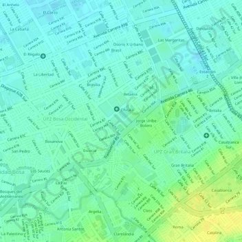
Name: Chicalá topographic map, elevation, terrain.
Location: Chicalá, Bosa, Bogotá, Distrito Capital, Colombie (4.62348 -74.18182 4.62386 -74.18111)
Average elevation: 8,356 ft
Minimum elevation: 8,330 ft
Maximum elevation: 8,402 ft