
Tiarei topographic map
Interactive map
Click on the map to display elevation.
About this map
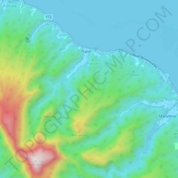
Name: Tiarei topographic map, elevation, terrain.
Average elevation: 1,037 ft
Minimum elevation: 0 ft
Maximum elevation: 4,997 ft
Other topographic maps
Click on a map to view its topography, its elevation and its terrain.
Hitiaa
France > Polynésie française > Hitiaa O Te Ra
Hitiaa, Hitiaa O Te Ra, Îles du Vent, Polynésie française, 98705, France
Average elevation: 889 ft