
Figueira topographic map
Interactive map
Click on the map to display elevation.
About this map
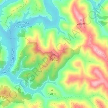
Name: Figueira topographic map, elevation, terrain.
Location: Figueira, São Marcos da Serra, Silves, Faro, Algarve, Portugal (37.32206 -8.41904 37.32216 -8.41894)
Average elevation: 486 ft
Minimum elevation: 230 ft
Maximum elevation: 840 ft