
Hyderpora topographic map
Interactive map
Click on the map to display elevation.
About this map
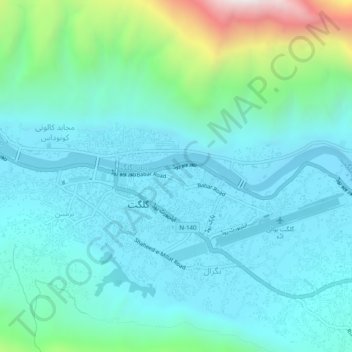
Name: Hyderpora topographic map, elevation, terrain.
Location: Hyderpora, Gilgit District, Gilgit-Baltistan, Pakistan (35.90390 74.29939 35.94390 74.33939)
Average elevation: 5,463 ft
Minimum elevation: 4,711 ft
Maximum elevation: 8,816 ft