
Bergerie Nationale topographic map
Interactive map
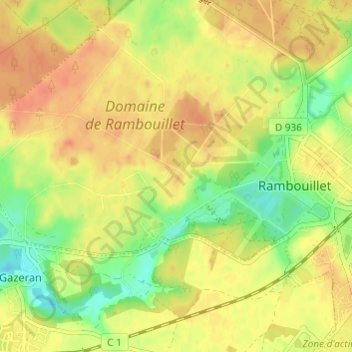
Click on the map to display elevation.
About this map
Name: Bergerie Nationale topographic map, elevation, terrain.
Average elevation: 528 ft
Minimum elevation: 446 ft
Maximum elevation: 584 ft
Other topographic maps
Click on a map to view its topography, its elevation and its terrain.
Étang d'Or
France > Île-de-France > Yvelines > Rambouillet
Étang d'Or, Rambouillet, Yvelines, Île-de-France, France métropolitaine, 78120, France
Average elevation: 538 ft