
Charndon topographic map
Interactive map
Click on the map to display elevation.
About this map
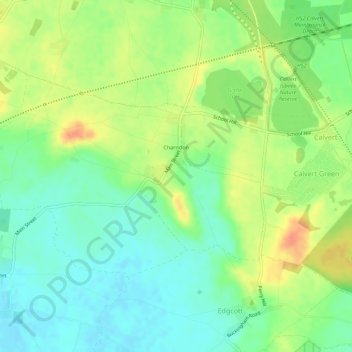
Name: Charndon topographic map, elevation, terrain.
Location: Charndon, Buckinghamshire, England, United Kingdom (51.90207 -1.05648 51.92190 -1.00094)
Average elevation: 272 ft
Minimum elevation: 213 ft
Maximum elevation: 354 ft