
Bijia topographic map
Interactive map
Click on the map to display elevation.
About this map
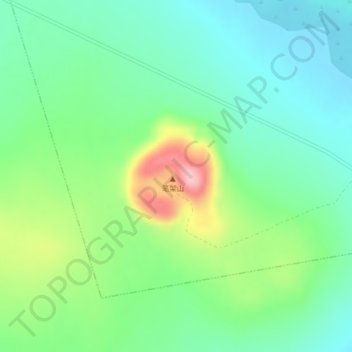
Name: Bijia topographic map, elevation, terrain.
Location: Bijia, 药泉林场, 五大连池市, 黑河市, 黑龙江省, 中国 (48.68623 126.08250 48.68633 126.08260)
Average elevation: 1,214 ft
Minimum elevation: 1,043 ft
Maximum elevation: 1,608 ft
Other topographic maps
Click on a map to view its topography, its elevation and its terrain.