
涡河 topographic map
Interactive map
Click on the map to display elevation.
About this map
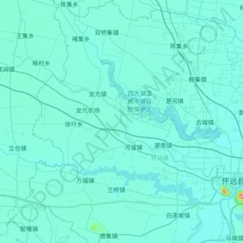
Name: 涡河 topographic map, elevation, terrain.
Location: 涡河, 怀远县, 蚌埠市, 安徽省, 中国 (32.95991 116.66613 33.20401 117.21903)
Average elevation: 79 ft
Minimum elevation: 43 ft
Maximum elevation: 1,060 ft
Other topographic maps
Click on a map to view its topography, its elevation and its terrain.