
Heilig-Geestgoed (Makegemse bossen) topographic map
Interactive map
Click on the map to display elevation.
About this map
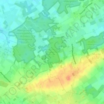
Name: Heilig-Geestgoed (Makegemse bossen) topographic map, elevation, terrain.
Average elevation: 108 ft
Minimum elevation: 56 ft
Maximum elevation: 194 ft