
Wustermark topographic map
Interactive map
Click on the map to display elevation.
About this map
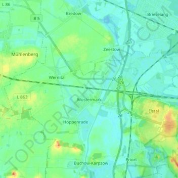
Name: Wustermark topographic map, elevation, terrain.
Location: Wustermark, Havelland, Brandemburgo, 14641, Alemania (52.52655 12.87119 52.57819 13.01521)
Average elevation: 121 ft
Minimum elevation: 92 ft
Maximum elevation: 210 ft