
La Carlota topographic map
Interactive map
Click on the map to display elevation.
About this map
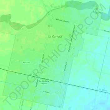
Name: La Carlota topographic map, elevation, terrain.
Average elevation: 469 ft
Minimum elevation: 449 ft
Maximum elevation: 486 ft
Other topographic maps
Click on a map to view its topography, its elevation and its terrain.
Los Cisnes
Argentina > Córdoba > Pedanía La Carlota
Los Cisnes, Comuna de Los Cisnes, Pedanía La Carlota, Departamento Juárez Celman, Córdoba, X2670, Argentina
Average elevation: 551 ft