
沙埠镇 topographic map
Interactive map
Click on the map to display elevation.
About this map
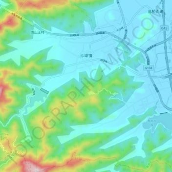
Name: 沙埠镇 topographic map, elevation, terrain.
Location: 沙埠镇, 黄岩区, 台州市, 浙江省, 中国 (28.50793 121.12581 28.59176 121.21966)
Average elevation: 466 ft
Minimum elevation: 10 ft
Maximum elevation: 2,336 ft
Other topographic maps
Click on a map to view its topography, its elevation and its terrain.