
火烧云 topographic map
Interactive map
Click on the map to display elevation.
About this map
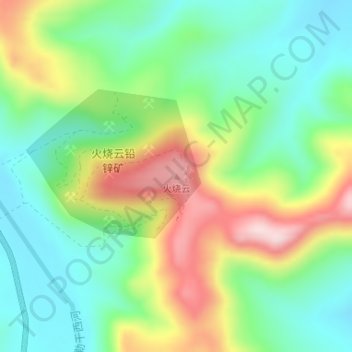
Name: 火烧云 topographic map, elevation, terrain.
Location: 火烧云, 和田县, 和田地区, 新疆维吾尔自治区, 中国 (34.60492 79.14988 34.60502 79.14998)
Average elevation: 18,317 ft
Minimum elevation: 17,930 ft
Maximum elevation: 18,999 ft
Other topographic maps
Click on a map to view its topography, its elevation and its terrain.