
Front Royal topographic map
Interactive map
Click on the map to display elevation.
About this map
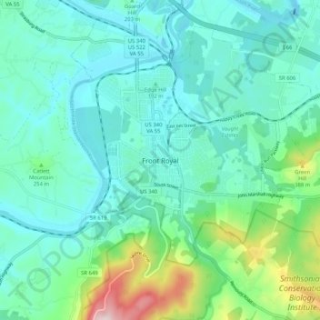
Name: Front Royal topographic map, elevation, terrain.
Location: Front Royal, Warren County, Virginie, États-Unis d'Amérique (38.87785 -78.23177 38.95785 -78.15177)
Average elevation: 722 ft
Minimum elevation: 433 ft
Maximum elevation: 1,883 ft